
Archaeological Geophysics Specialists
Geophysical surveys are an indispensable, non-intrusive tool for evaluating archaeological potential. They are crucial for meeting planning requirements and rapidly delivering detailed insights for sectors such as development, renewables, utilities, and the extractive industry.
At TerraDat, we adhere to and often surpass Historic England’s, CIFA's and the EAC's guidelines for geophysical surveying, offering high-resolution surveys that precisely pinpoint significant features.
TerraDat excels in providing effective risk management through high-quality geophysical data and accurate archaeological interpretations. Our methods include Ground Penetrating Radar (GPR), magnetic gradiometry, electrical resistivity mapping (and tomography), and Electromagnetic (EM). We customise our geophysical surveys to efficiently meet your specific requirements.

Expertise and Reach
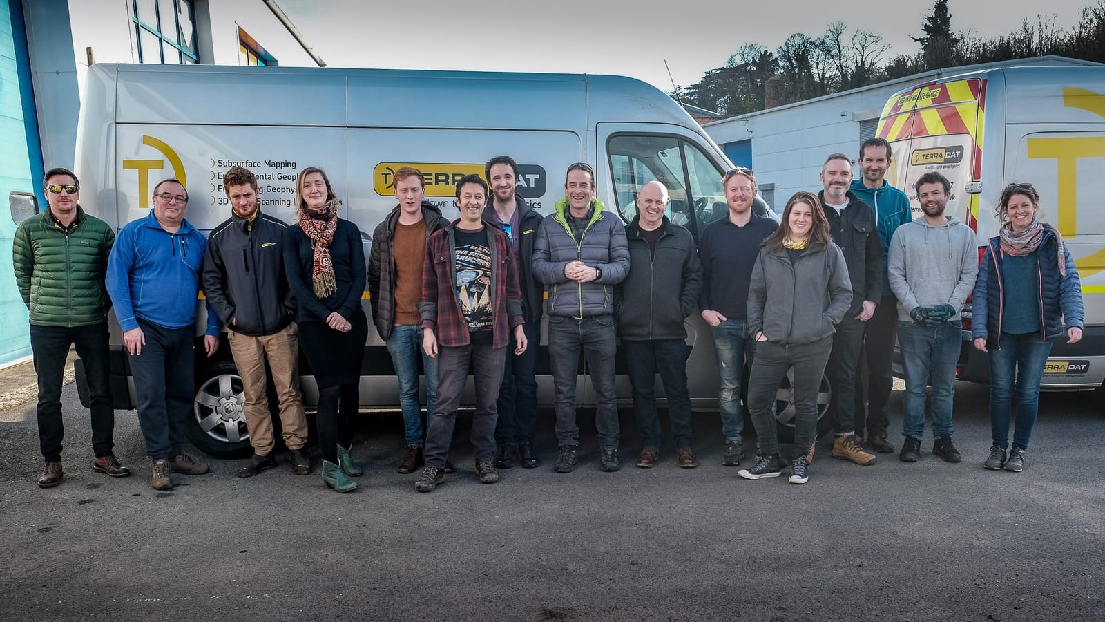
TerraDat is at the forefront of delivering innovative solutions for archaeological investigation, equipped with a wealth of knowledge and experience that directly benefits our clients' projects. Our clients gain from the skill and dedication of our specialised archaeological geophysics team, which offers prompt and extensive services across the UK and internationally.
TerraDat's archaeological geophysics team stands out with its extensive background in applied geophysics and archaeological surveying. Our in-house geophysicists are expertly trained in handling the technical aspects of geophysical data acquisition, while our archaeologists provide in-depth interpretation of any identified archaeological features.
As one of the UK's premier multi-disciplinary geophysical service providers, TerraDat's advanced processing and interpretation techniques enable us to delve deeper into survey results. This allows us to uncover additional insights into various site hazards, including detecting shallow unexploded ordnance (UXO), historical mine workings, and concealed structures and utilities, ensuring a comprehensive understanding of the subsurface conditions.
Key Personnel
Christian Bird (Technical Manager)
Christian is the Technical Manager at TerraDat. He graduated from Cardiff University with a degree in Geology and joined TerraDat in 2003 as a graduate geologist. Over the last two decades, Christian has taken on various responsibilities within the company, overseeing its technical operations and leading multiple research initiatives.
Christian's passion lies in advancing the field of geophysics, particularly through the innovative application of 3D technology to visualise the concealed subsurface. Recently, he has been focused on enhancing TerraDat's capabilities in archaeology, spearheading the use of multi-channel magnetometry arrays and multi-frequency ground-penetrating radar (GPR) systems. These advancements have opened up new possibilities for detecting and interpreting archaeological features across extensive survey areas, thus enabling the contextualisation of archaeological sites on a regional scale.
Dr Tim Young (Archaeological Consultant)
Tim specialises in archaeo-metallurgical studies and archaeological geophysical surveys. Tim is also a professional tutor at Cardiff University, teaching archaeological science. His research interests include the technology of early iron-production/working, landscape evolution and the Ordovician geology of Portugal.
University teaching currently involves a module in archaeogeophysics for Cardiff University (an 8-day field course with accompanying lectures) and excavation training. Previous university roles have included the organisation of undergraduate fieldwork placements for the 2012/3 session and teaching IT to both archaeology and geology undergraduates and postgraduates, together with courses in economic minerals, sedimentology and regional geology.
Dr Jordan Mertes (Project Manager)
Jordan is a project geophysicist at TerraDat (UK) Ltd. He graduated from the University of Nebraska Omaha with a degree in Physics and a minor in Geology. He obtained an MSc through the University of Oslo and the University Centre in Svalbard. His studies focussed on geophysical surveying and modelling debris-covered glaciers in the Arctic and Himalayas. His PhD from Michigan Technological University focused on 3-D modelling and geophysics applied to glaciers and historic maritime archaeology. He has authored/co-authored numerous peer-reviewed articles in scientific journals on geography, geology and archaeology.
Jordan enjoys the outdoor aspects of geophysical data acquisition and the thrill of revealing subsurface secrets. His role at TerraDat has allowed him to test new methods for data processing and 3-D visualisation. Lately, he has been developing new customised software for rapid archaeological data processing and visualisation, allowing for a more efficient assessment of daily survey results.
Nick Russill - Co-Founder & Aerial Surveys Specialist
As a co-founder of TerraDat, Nick Russill brings a wealth of expertise and innovation to the team. With a degree in Exploration & Mining Geology from Cardiff University, Nick has consistently been at the forefront of geophysical advancements.
Nick's role as the Royal Society Entrepreneur in Residence at Exeter University's School of Engineering underscores his commitment to integrating cutting-edge technology with practical applications in geology and archaeology. His qualifications as a drone pilot have been instrumental in elevating TerraDat's aerial reality capture capabilities, which he has significantly advanced since pioneering commercial photogrammetry collaborations in the UK with Topcon, Japan.
Under Nick's guidance, TerraDat has engaged in several high-profile projects that have captured public interest. His leadership was pivotal in the search for the potential burial site of the Welsh prince Owain Glyndŵr, and his contributions have enriched numerous BBC historical documentaries. Notably, his expertise was key in the discovery of a World War II Nazi escape tunnel in South Wales, showcasing the practical impact of geophysical surveys in uncovering the past.
Nick's dedication to TerraDat's mission and his innovative approach to archaeological geophysics make him an invaluable asset to the team and a cornerstone of the company's success.