
Decades of Archaeological Discovery
TerraDat Geophysics has provided geophysical and geodetic solutions and services for archaeology for over 30 years. With a commitment to excellence and a passion for preserving our cultural heritage, we offer a comprehensive range of services tailored to meet each project's unique needs.
We specialise in providing comprehensive subsurface geophysical mapping services tailored to meet the needs of archaeologists, engineers, and consultants. Our commitment to integrity ensures that our clients receive honest, reliable, and impartial results.
State-of-the-Art Surveying Technology
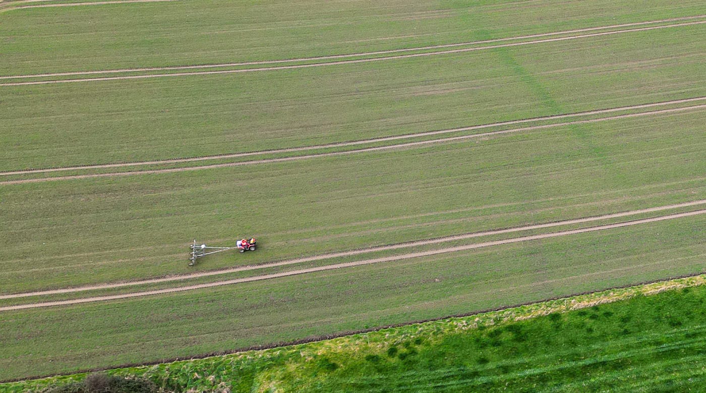
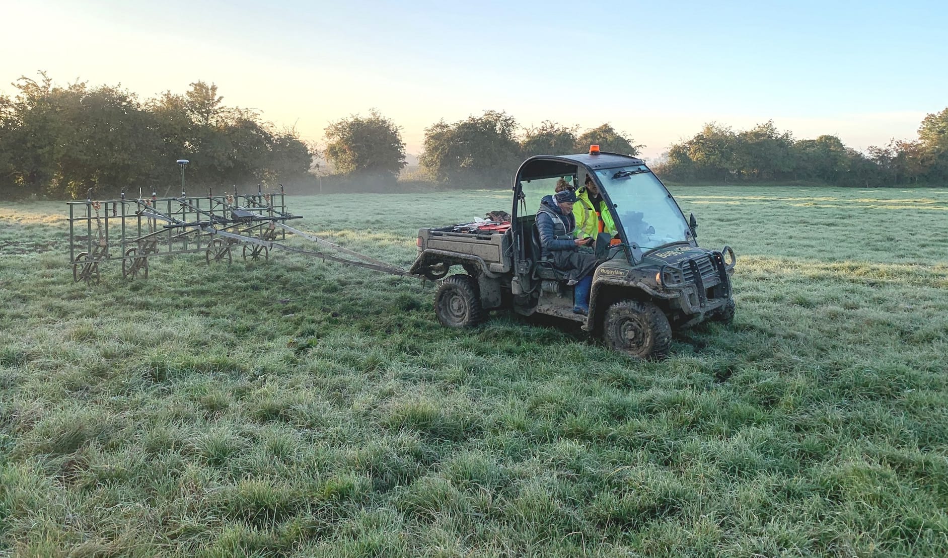
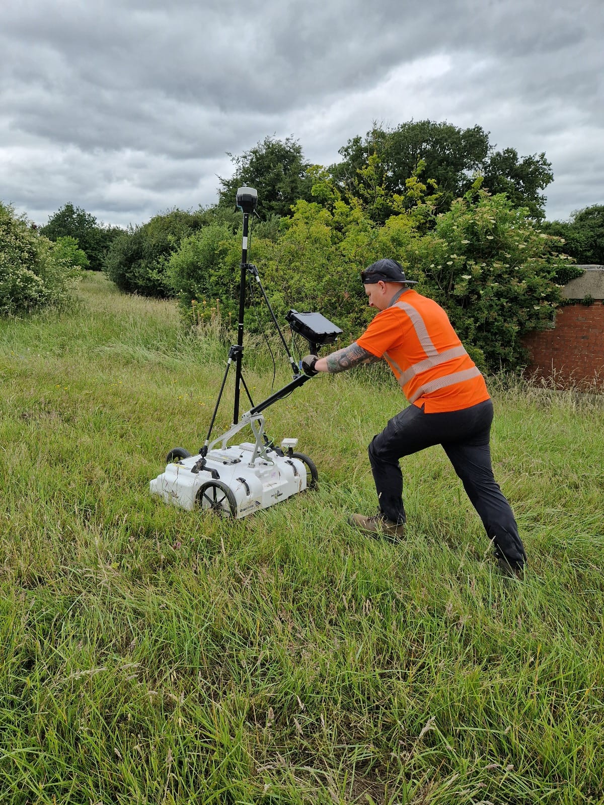
We pride ourselves on our efficient surveying, utilising the latest towed geophysical systems that are both high-speed and environmentally considerate. Our magnetic gradiometry, Ground Penetrating Radar (GPR), and Electromagnetic surveys use all-terrain vehicles designed for minimal ecological impact, allowing maximum coverage and resolution while significantly reducing time and costs.
We pioneered aerial imaging long before the advent of drone technology, honing our skills using blimps, kites, and masts. Fortunately, drones have simplified this process, and we have a wide range of drone-based technologies to assist any site investigation.

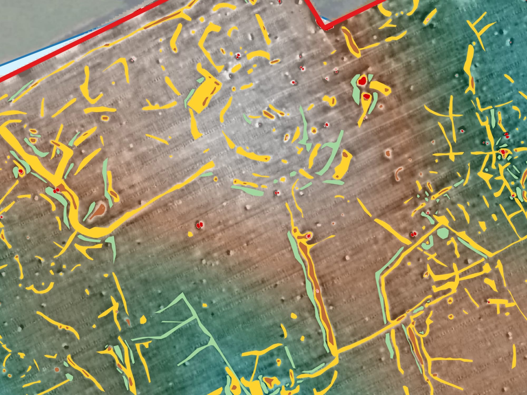
Once fieldwork is complete, our team use the latest GIS software to generate detailed maps that highlight geophysical anomalies, placing them in their wider regional archaeological setting. These features are then overlain on digital terrain models to allow consideration of buried archaeology within its broader topographic context. Our detailed reports offer in-depth analysis of potential archaeological sites, ensuring Clients are well-informed of their project's subsurface conditions.
Comprehensive Geophysical & Geodetic Techniques
Our array of geophysical and geodetic survey techniques includes:
- Magnetic Gradiometry
- Ground Penetrating Radar (GPR)
- Microgravimetry
- Resistivity Mapping and Tomography
- Electromagnetic Conductivity
- Aerial Photography and Videography with Drones
- Drone-based Photogrammetry and LiDAR
- Drone-based Multispectral imaging
- 3D Reality Capture via Photogrammetry
- 3D Terrestrial Laser Scanning
- Precise Geodetic GNSS Surveys
At TerraDat, we are dedicated to advancing the field of archaeological geophysics and to providing our clients with the highest quality of service.